2 Maps: Jan’s Original map of a White’s only country in Africa – 2006
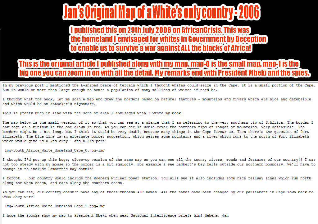
[Here is the original text I published in 2006 of a White’s only country in Africa. Click on the image to zoom in.
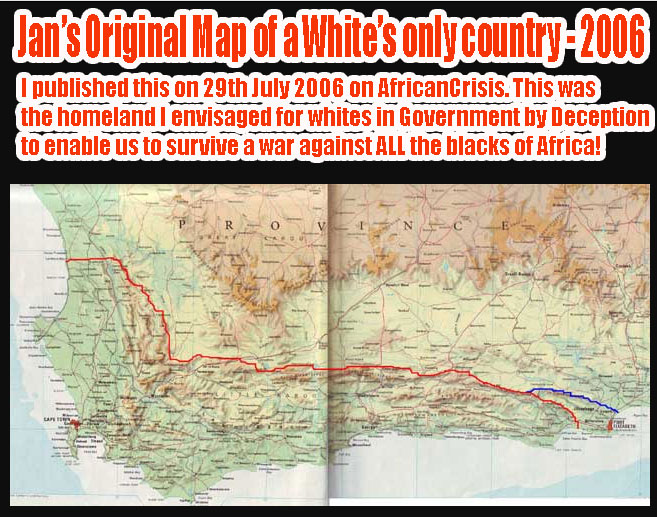
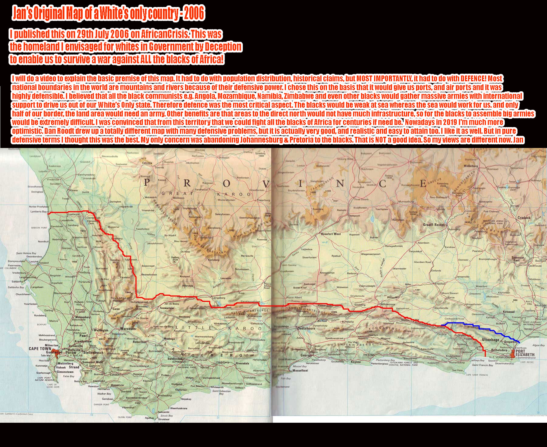
This is the sort of land area I envisaged when I was writing Government by Deception in 2001. The red line is the border I envisaged, which is mostly in mountains which are easily defended. The blue line was an alternative border in the hope that we could also capture Port Elisabeth.
This will give you some idea of what I was thinking. Now, in 2019, I am much more positive and I would NOT even want to give up Johannesburg and Pretoria to the blacks.
I will do a map with the various considerations that made me come up with this map.
Dan Roodt’s map which came several years later is also good and I like it too. But this one was based on ALL OUT RACE WAR ENDLESSLY … so that we could survive in Africa for centuries until we could break out to the north. I did not want us to leave Africa but to retain a foothold against all odds.
Nowadays, I even think in terms of white expansion deep into Africa, based on current conditions which I believe are much more favourable than the ones I used for this map. My real goal is to grab whites-only land in Africa in various places so that we can build bigger civilisations than ever with a much bigger population of whites – preferably tens of millions of whites at the very least. Jan]

Here is the small map, which gives you the basic high level look of the borders.

Here is the big map. You can click on it to zoom in and scroll around. I added some additional text here on the basic premises and purpose of the map.


